基于浙江天童20 hm2常绿阔叶林动态监测样地的群丛划分
孙小伟,杨庆松,刘何铭,王希华( )
)
)
Classification of plant associations based on a 20 hm2 dynamics plot of evergreen broad- leaved forest in Mt. Tiantong, Zhejiang, China
SUN Xiao-Wei,YANG Qing-Song,LIU He-Ming,WANG Xi-Hua()
)
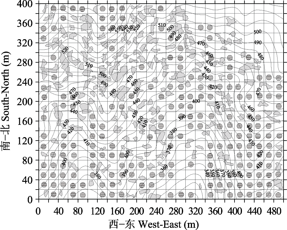
图3. 天童20 hm2样地中用于分类的20 m × 20 m的样方分布图(198个样方, 等高线间距为10 m)。灰色阴影部分为林窗, 含有阴影圆圈的样方为用于分类的样方。
Fig. 3. Map of quadrats for classification at the scale of 20 m × 20 m in Tiantong 20 hm2 plot (198 quadrats in total) (The contour lines with 10 m intervals were shown). Gray polygons represent forest gaps, and shadow circles stand for the quadrats used for classification.