塔里木河下游湿地面积时序变化及对生态输水的响应
蔚亮1,2, 李均力1,3,*( ), 包安明1,3, 白洁1,3, 黄粤1,3, 刘铁1,3, 沈占锋4
), 包安明1,3, 白洁1,3, 黄粤1,3, 刘铁1,3, 沈占锋4
Temporal areal changes of wetlands in the lower reaches of the Tarim River and their responses to ecological water conveyance
YU Liang1,2, LI Jun-Li1,3,*(), BAO An-Ming1,3, BAI Jie1,3, HUANG Yue1,3, LIU Tie1,3, SHEN Zhan-Feng4
), BAO An-Ming1,3, BAI Jie1,3, HUANG Yue1,3, LIU Tie1,3, SHEN Zhan-Feng4
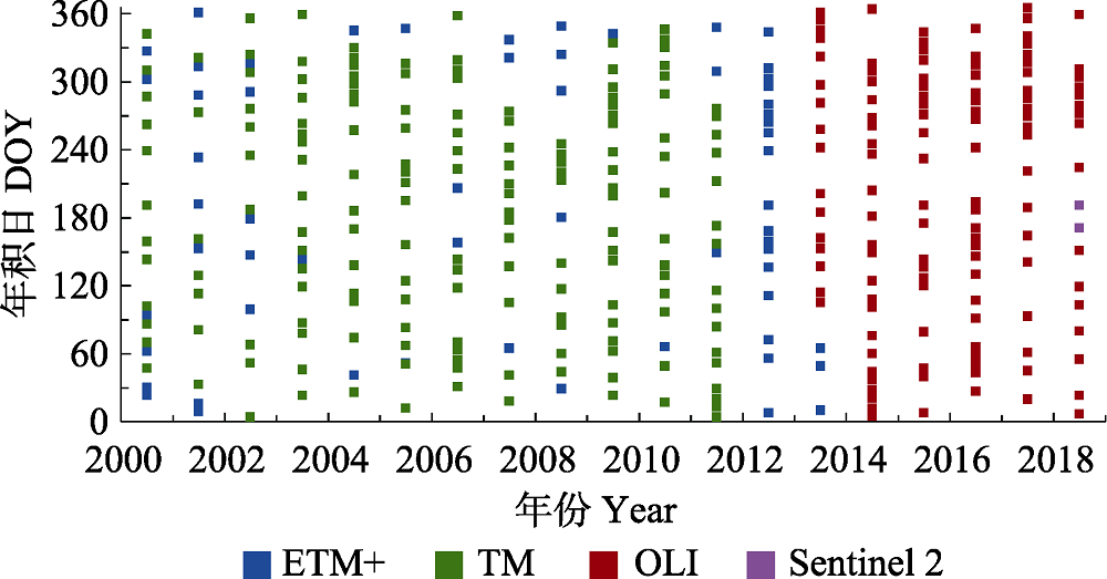
图2. 2000-2018年塔里木河下游湿地研究区多源遥感数据时序分布图。
Fig. 2. Temporal distribution of multi-source remote sensing data in the study area of the lower reaches of the Tarim River during 2000-2018. DOY, day of year.